|  | |
• | Dutchman Arch - Description | |
|
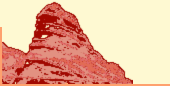
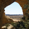
Dutchman Arch is located in an area named 'Head of Sinbad', belonging to the San Rafael Swell. Dutchman Arch should be visible from the I-70; at least you can see the I-70 from there.
Leave I-70 at exit 131 (about 30 miles west of Green River) and turn to the south; direction Goblin Valley. If you are lucky, you can get an ATV map of this area at the kiosk (on this junction I-70/Temple Mountain Road). Follow the graded dirt Temple Mountain Road (U24) parallel to the freeway for a while then to a more southerly direction.
Take the third road on the right (the second should also be possible) and follow this road for around 2.7 mi; at this fork turn off to the right. Take again the right track at the next fork 2 miles later. After 1.5 mi (around 9 miles after leaving the freeway) you will arrive at the very sandy I-70 underpass, passable only by 4WD cars. Road conditions may vary; we had to clean it from a bumper and some other car parts.
The region beyond the underpass is a maze of small roads mostly used by ATVs. Take a track to the left (BLM 641) to reach Dutchman Arch in a few minutes. The dirt road follows the fence for a short distance then it turns north, 0.2 miles from the highway is a junction, go left and Dutchman Arch will be on your right in 0.5 miles.
If you don't like this underpass, Dutchman Arch from here is reachable by a short hike (less than a mile) through easy terrain.
Head of Sinbad Pictograph/Locomotive Point is very close to Dutchman Arch, some minutes with a 4WD or ATV.
|
|
|
|
|
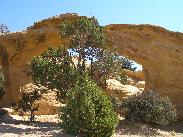
Dutchman Arch; light and shadow.
|
|
|
|
|
Dutchman Arch from above.
|
|
|
|
|
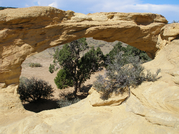
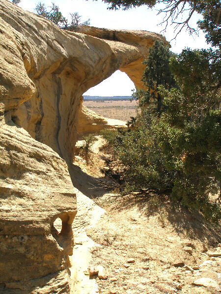
Dutchman Arches
|
|
You will find the map 'Dutchman Arch' here.
|
|
| |
• | If you would like to comment on Dutchman Arch, give a feedback or for example recommend something - here - please.
| |